
How to Use Drones in Construction Site Monitoring: A Civil Engineer’s Modern Guide
- Anjali Regmi
- Apr 25
- 1 min read

Introduction
Technology is rapidly transforming the construction industry, and one of the most impactful innovations is the use of drones. Also known as Unmanned Aerial Vehicles, drones help engineers monitor sites, track progress, and improve accuracy without physically being everywhere.

For civil engineers, integrating drones into site management can significantly enhance efficiency, safety, and decision-making.
Understanding Drone Applications in Construction
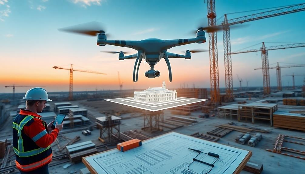
Drones are used for site surveys, aerial mapping, and progress monitoring.
They provide a complete view of the site, helping engineers understand layout, track development, and identify issues quickly.
Improving Site Monitoring and Progress Tracking
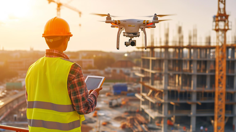
Drones allow engineers to monitor progress in real time.
By capturing regular aerial images, engineers can compare progress over time and ensure that work is moving according to schedule.
Enhancing Survey Accuracy
Traditional surveying methods can be time-consuming.
Drones provide accurate measurements and can create detailed maps and 3D models, improving precision and saving time.
Improving Safety on Site
Drones can access hazardous or hard-to-reach areas without putting workers at risk.
This improves safety by reducing the need for manual inspection in dangerous zones.
Supporting Better Decision-Making
The data collected by drones helps engineers make informed decisions.
Accurate visuals and measurements allow better planning, faster problem-solving, and improved project control.
Conclusion
The use of Unmanned Aerial Vehicles is revolutionizing construction site management.
By improving monitoring, enhancing accuracy, increasing safety, and supporting better decision-making, drones are becoming an essential tool for modern civil engineers. Embracing this technology can significantly improve project efficiency and outcomes.


Comments