
Essential Surveying Techniques and Instruments Every Civil Engineer Should Know
- Anjali Regmi
- Mar 22
- 4 min read

Introduction to Surveying in Civil Engineering
Surveying is one of the most fundamental aspects of civil engineering. Before any construction begins, the land must be measured, mapped, and understood accurately. Surveying provides the base data required for planning, design, and execution of projects.
For students and freshers, surveying is often introduced as a subject filled with instruments and calculations. However, in real world applications, it plays a critical role in ensuring that structures are built at the right location, with correct dimensions and alignment.

Basic Principles of Surveying
Surveying is based on simple but important principles. The first principle is to work from whole to part, meaning that larger areas are measured first and then divided into smaller sections. This reduces errors and improves accuracy.
The second principle is to fix positions using at least two reference points. This ensures that measurements are reliable and can be cross checked.
In theory, these principles are taught with diagrams and examples. On site, they are applied during layout marking and boundary fixing.
Types of Surveying in Civil Engineering
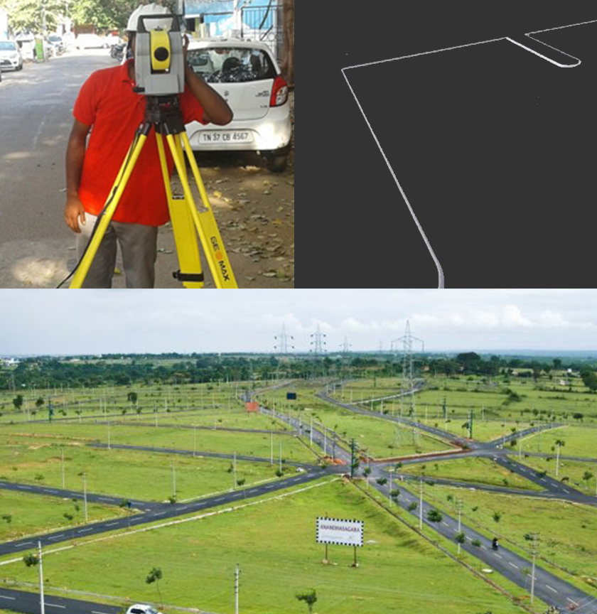
There are different types of surveying depending on the purpose of the project.
Plane surveying is used for small areas where the curvature of the earth is ignored. Geodetic surveying is used for large scale projects where curvature is considered.
Other types include topographic surveying for mapping land features, and route surveying for roads, railways, and pipelines.
Understanding these types helps engineers choose the right method for each project.
Chain Surveying and Its Practical Use
Chain surveying is one of the simplest methods. It involves measuring distances using chains or tapes.
In textbooks, this method is used for small and simple areas. On site, it is still useful for preliminary measurements and small projects where high precision instruments are not required.
It also helps students understand the basics of measurement and error handling.
Levelling and Determination of Elevation
Levelling is used to determine the height of different points relative to a reference level. It is essential for designing roads, drainage systems, and building foundations.
In theory, concepts like reduced levels, benchmarks, and line of sight are studied. On site, levelling ensures that surfaces are even and slopes are maintained correctly.
Incorrect levelling can lead to water accumulation, uneven structures, and drainage issues.
Modern Surveying Instruments and Technology

Modern surveying has evolved with technology. Instruments like total stations and GPS equipment have replaced traditional tools in many projects.
A total station combines distance measurement and angle measurement with digital data recording. GPS allows accurate positioning using satellites. Drones are also being used for large scale mapping and monitoring.
While these tools make surveying faster and more accurate, engineers must still understand basic principles to use them effectively.
Traversing and Triangulation Techniques
Traversing and triangulation are methods used to establish control points over an area.
Traversing involves measuring a series of connected lines and angles. Triangulation uses triangles to determine positions.
These techniques are important for large projects where accuracy over long distances is required. In practice, they are used in road alignment and land development projects.
Surveying for Construction Layout
Surveying plays a key role in setting out construction work. It ensures that structures are built at the correct location and orientation.
On site, engineers use surveying techniques to mark the position of foundations, columns, and walls. This process is known as layout or setting out.
Even small errors in layout can lead to major construction issues, making accuracy extremely important.
Errors in Surveying and Their Correction
Errors are inevitable in surveying, but they must be minimized and corrected.
Errors can occur due to faulty instruments, human mistakes, or environmental conditions.
In theory, students learn about systematic and random errors. On site, engineers use checks and repeated measurements to reduce these errors and ensure accuracy.
Field Challenges in Surveying
Surveying in real projects comes with several challenges. Uneven terrain, weather conditions, and obstacles can affect measurements.
For example, working on hilly terrain requires additional care and adjustments. Similarly, extreme weather can impact instrument performance.
Handling these challenges requires both technical knowledge and practical experience.
Integration of Surveying with Other Civil Engineering Activities
Surveying is not a standalone activity. It is closely linked with design, planning, and construction.
Accurate survey data is essential for preparing drawings and executing projects. Engineers must coordinate surveying with other activities to ensure smooth workflow.
This integration highlights the importance of surveying in the overall construction process.
Skills Required for Surveying
To perform effective surveying, engineers need both technical and practical skills.
They must understand measurement techniques, operate instruments, and interpret data. Attention to detail is critical, as small errors can have large consequences.
Communication and teamwork are also important, as surveying often involves working
with site teams.
Conclusion
Surveying is a foundational skill in civil engineering that ensures accuracy and precision in construction.
For students and freshers, mastering surveying techniques and instruments is essential for understanding how projects begin and progress.
By combining theoretical knowledge with field practice, engineers can ensure that structures are built correctly, safely, and efficiently.


Comments